Saturday, 17 September 2011

Autumn

Autumn is the berry and mushroom season, and our freezer is now full with blueberries and cantarelles. Our raspberry bush survived last winter and, although it is not very big yet, we got a good harvest of juicy tasty berries from it. We also have a red gooseberry plant, but they take a bit longer to ripen. It is a good berry year, we have picked both cloudberries, raspberries, blueberries and stone bramble; the mushrooms had a late start, probably because of the dry summer, but during our last cantarelle trip a few weeks ago we did find quite a few mushrooms so it could become a reasonable mushroom year as well.

homegrown raspberries

result from a cantarelle trip

Monday, 5 September 2011

Hamperokken

Hamperokken is a very distinct mountain that you can see from far and it has long been on my wishlist of mountains to climb. So when Tony and some of his colleagues planned to hike up there one Sunday afternoon I tagged along. From a distance it looks impossible to get up there without climbing, but there is actually quite a good track along and underneath the ridge and only the last part to the top requires some light scrambling. A beautiful ridge walk, but best done in good weather.

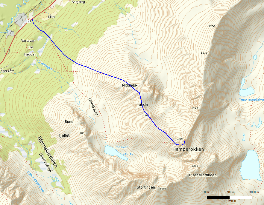
our route

Hamperokken seen from the SW, from Ramfjordbotn. It looks impossible to get up without climbing......

Hamperokken from the start of the ridge at ca 1000 m

Looking down towards Litleskarvatnet

Top of valley between Hamperokken and Stortinden


The only bit of scrambling, the last ca 20m to the top

Looking back along the ridge from the top

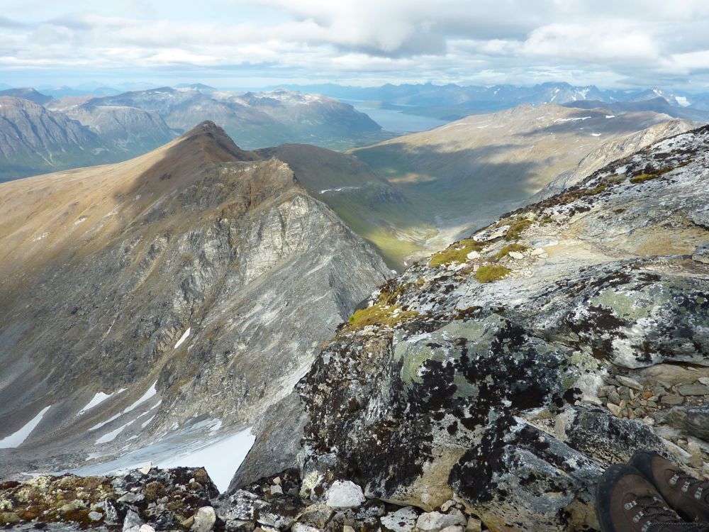
View towards Breivikeidet to the NE

View to the S

View to the NW, with Tromsdalstinden in the top right; Tromsø is right behind Tromsdalstinden.

Back down along the ridge


The end of the ridge

Tony studying interesting geological structures

Friday, 2 September 2011

Daltinden - Lyngen


Our route; we camped down in Dalbotn.

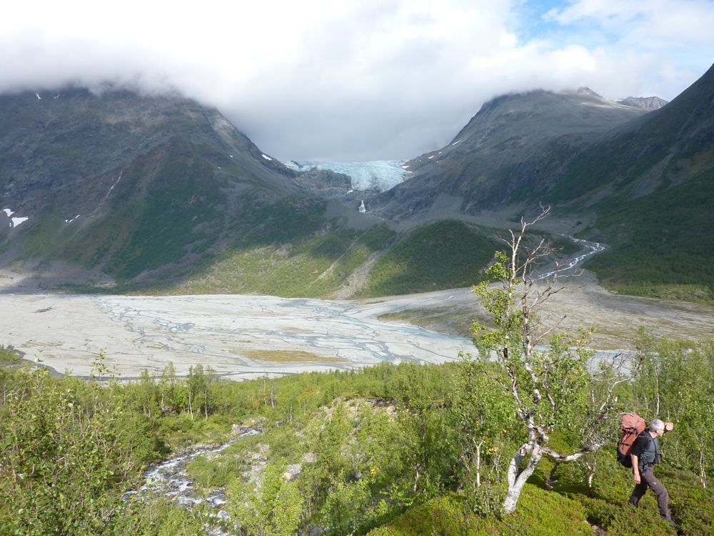
Dalbotn with 2 of the 3 glaciers that drain into Lyngsdals river: on the left Bálggesváhjiehkki, on the right Sydbreen.

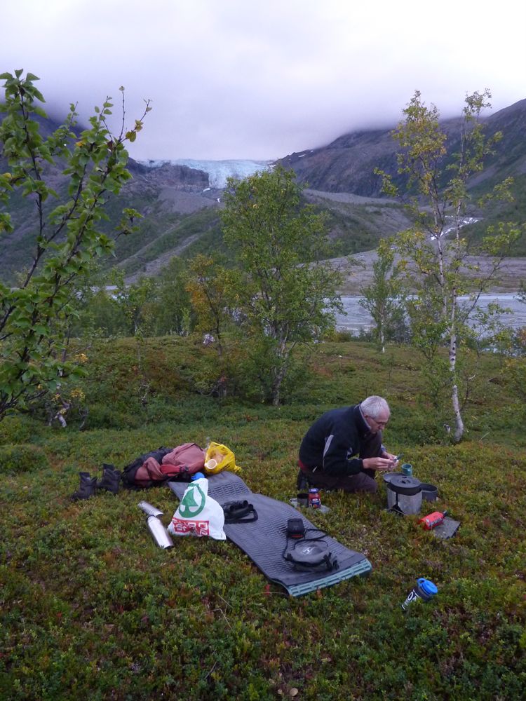
Nice view from our campsite, looking at the third glacier Vestbreen.

Start of the hike up to Daltinden

Daltinden

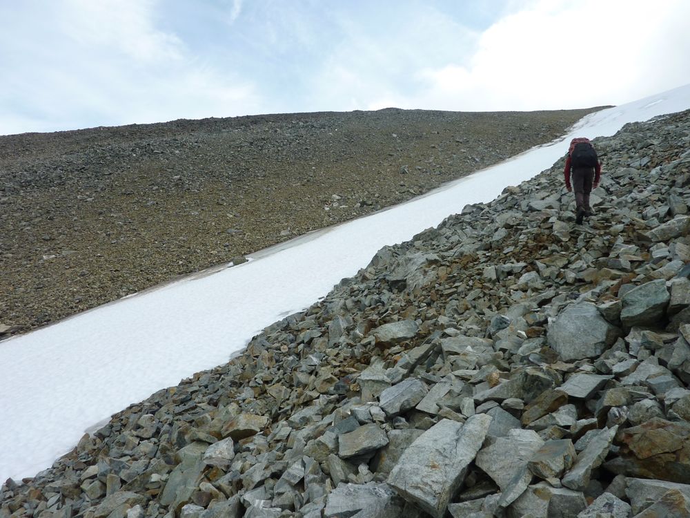
Typical blockfield most of the way up

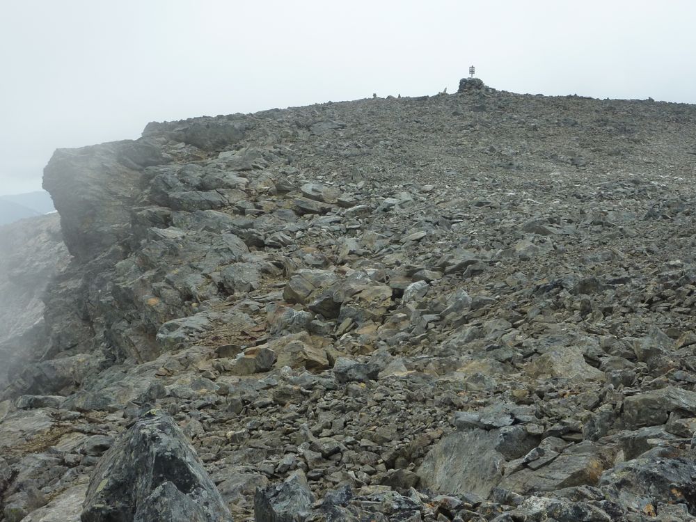
Daltinden's top plateau with cairn

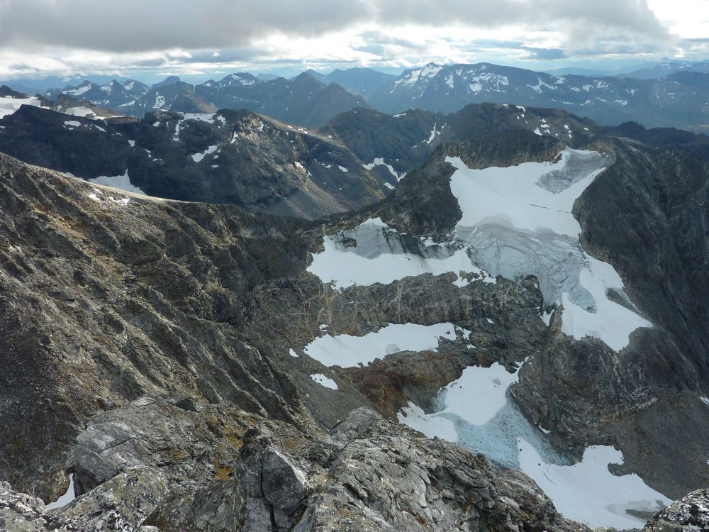
Flat-topped mountains; looking west towards Bálggesvárri with plateau glacier on top

Tony standing in a young sorted frost circle on top of Daltinden

Quick descent along a long snow field

Monday, 22 August 2011

Hattavarra

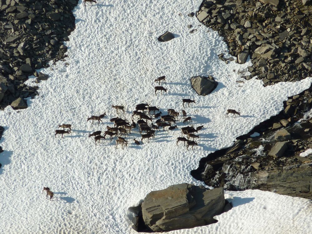
After walking back to the car from Rostahytte, we did some shopping in Øverbygd and had an extended and lazy late lunch on the beach at Fjellfroskvatnet on what must have been one of this year's hottest days. We started walking towards Hattavarra around 16:00 h and the first couple of kilometers up the valley were still very warm, but fortunately the track followed a river that provided us with regular and much appreciated refreshment. Higher up a flock of reindeer was trying to cool down by standing in a snow field. But we got to the top in good time and the views were excellent in all directions. A beautiful walk.

our route

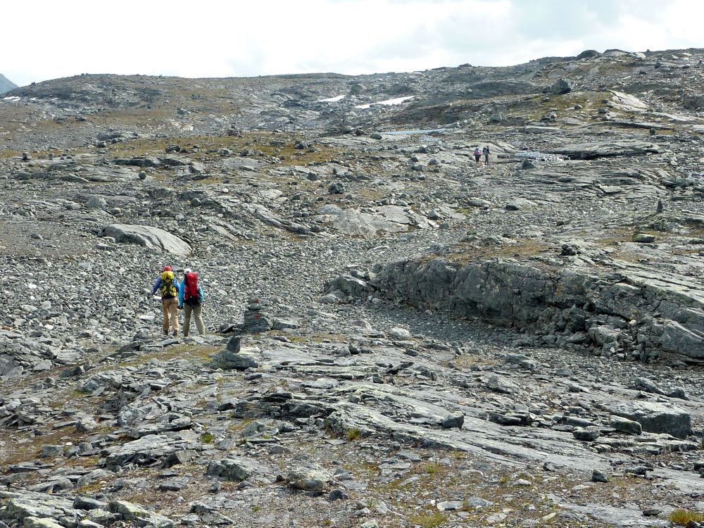
A well used track leads up the valley.

View to the west from halfway up.

Reindeer cooling down in the snow.

A solid block field with good trail markings.

View to the NE from the top.

View to the west from the top.

A good snow field made the descent a little faster.

Saturday, 20 August 2011

From Kilpis to Rostadalen #2

Day 3, from Gappohytte to Rostahytte, was probably the highlight of the trip with the most variety in landscapes, and many flowers and birds. 

Finnish fisherman showing off a freshly caught trout.

rock hopping across a river

Alpine catchfly, Lychnis alpina

Cottongrass, Eriophorum

broad glacial valleys

Swedish-Norwegian border: back in Norway after a short section through Sweden.

lunch break

Very rocky the last few hundred meters to the pass at around 1000 m altitude.

Beautiful green valley, which reminded me of Mongolia, just without the gers, horses and yaks.


Rosta hyttene

Moor-king, Pedicularis sceptrum-carolinum

Rosta hyttene: we slept in the 'new' hut on the right. The large hut on the left is the Jubileum hut, built only a few years ago, and the hut furthest away is the old hut; the fourth building is the woodshed/toilet.

On day 4, our friends headed towards Pältsa hytte in Sweden while we walked through Rostadalen back to our car that we had left there 4 days earlier. We had a look at the river on our way down, but there is a lot of white water, more difficult than we are able to packraft at the moment.

Rostadalen

Tony walking through a field of Alpine sow-thistle, Cicerbita alpina.