Mørketid starts in 2 days time, but with cloudy weather and rain forecasted for the next week, today is probably the last time we see the sun in Tromsø for this year. We have a beautiful weekend with clear skies, a few cm of snow and -7 C temperatures, a welcome break from the rainy weather of the last couple of weeks.
Sunday, 20 November 2011
Saturday, 22 October 2011
Miscellaneous trips
Summer has come to an end and winter is approaching; the tops of the mountains are now covered in snow. We have had a lot of rain in the last few weeks, and after night frost last night the roads were very icy today. We will have to change to winter tyres on the car and the bikes this weekend. Not much hiking recently, we started working on the house instead, renovating one of the rooms upstairs. Below are some photo's from shorter trips that we did this autumn, but that didn't get their own blog posts.
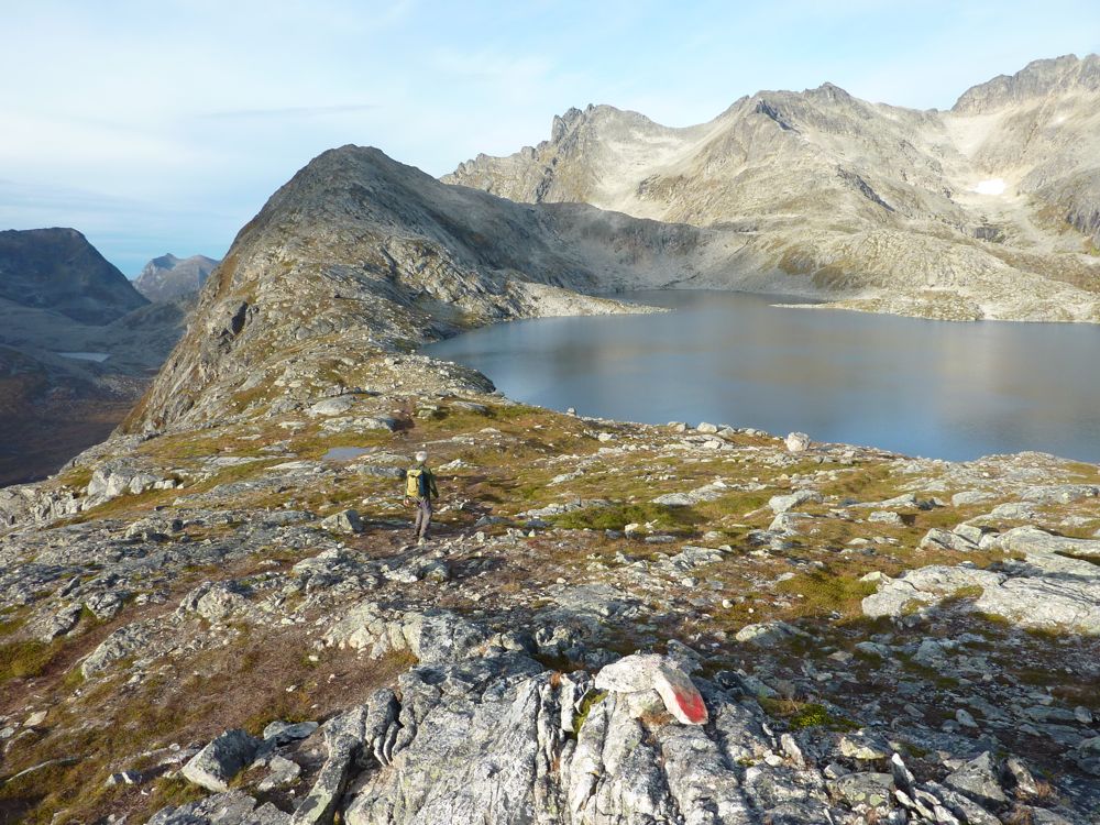
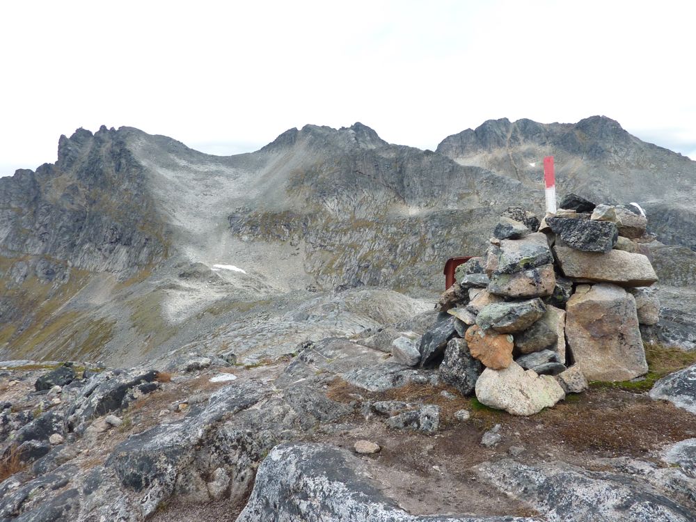
First another ti-på-topp trip to Tverrfjellet on the island Kvaløya west of Tromsø. Beautiful autumn weather on the way up, but we got caught out by the rain on the way down.
![]() |
| Tverrfjellet is the top of the ridge to the left of the lake |
![]() |
| The top of Tverrfjellet with Middagstinden behind it |
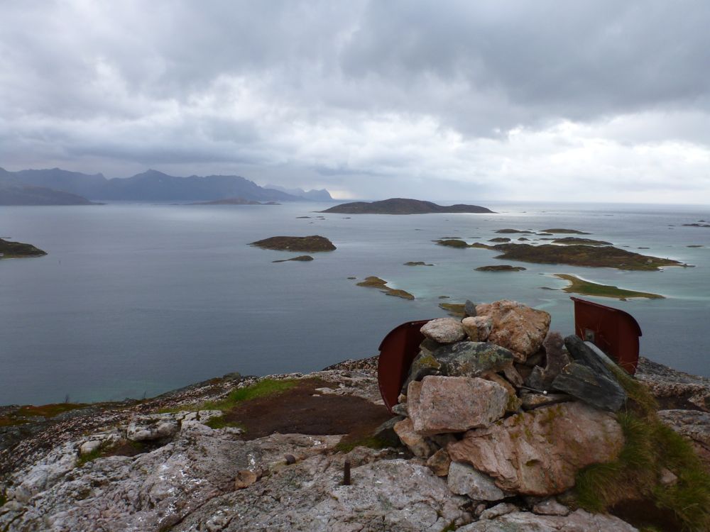
Another (mini) ti-på-topp tur on a wet and grey day. This time to Ørnfløya, in the far west of Kvaløya, near Sommarøya. A tiny hill, but with a very nice view from the top.
A field trip to west coast of Senja. Here late afternoon light and beautiful clouds over Andfjorden with Andøya in the background.
Lofoten in autumn colours
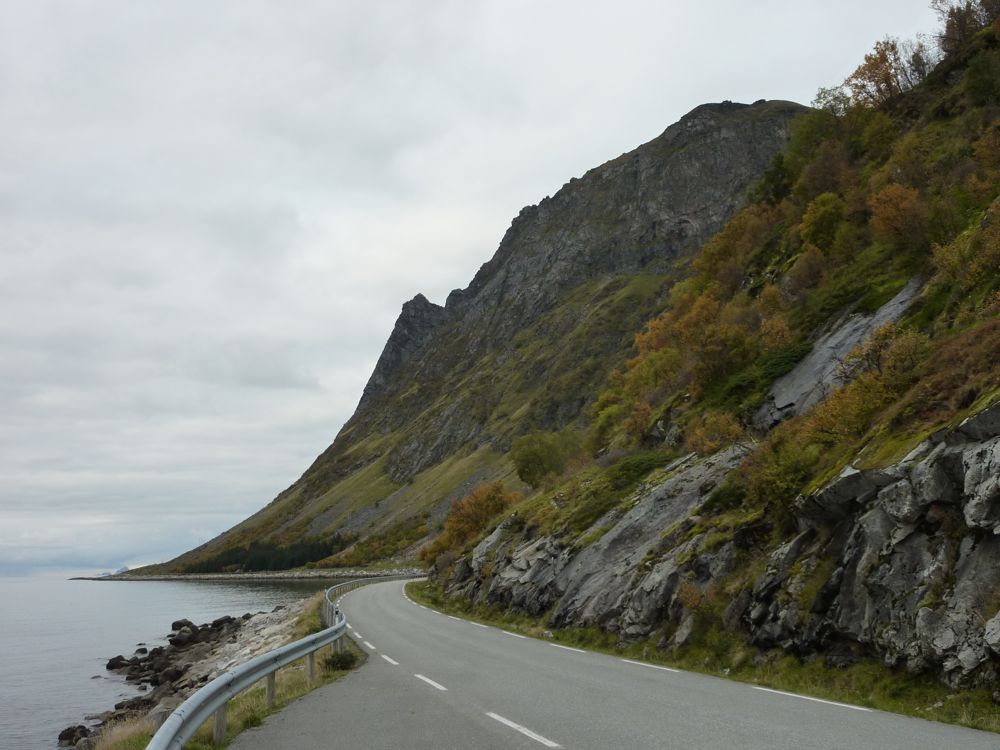
This was a very short 2-day stop-over in the Lofoten on the way back from Røst, mainly to resample one of the brittle faults for dating purposes. So I spent most of my time at a road cut trying to scrape out fault rock material, not the most exciting of places in this beautiful landscape. On the other hand, I did get to drive through a very colourful Lofoten in mostly good weather and, as I took the Hurtigruten back from Stamsund to Tromsø (which for once was cheaper than flying) had a relaxing time on board watching a, by now, misty and wet landscape float past while reading papers and drinking coffee.
![]() |
| On Vestvågøya, east of Leknes |
![]() |
| Autumn colours along the road |
![]() |
| On Hinnøya, along the new road Lofast |
![]() |
| Austnesfjorden on Austvågøya |
![]() |
| Art work; part of Artscape Nordland |
![]() |
| More autumn colours |
![]() |
| Bridge between Austvågøya and Vestvågøya |
Monday, 17 October 2011
Røst
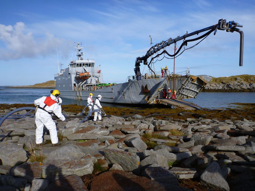
I am a volunteer in WWF's Ren Kyst (clean coast) project, which is a (growing) group of volunteers trained by WWF to help with oil clean-up in cases of oil spills. I did one of their courses 2 years ago, a course developed in collaboration with Kystverket (the Norwegian Coastal Administration) and Norlense, a manufacturer of oil lenses. A couple of weeks ago, there was a large scale oil clean-up exercise organised by NOFO (the Norwegian Clean Seas Association for Operating Companies, which (in their own words) 'develops and maintains oil spill preparedness on the Norwegian continental shelf in order to combat oil pollution on behalf of 25 operating oil companies'), and they wanted some WWF volunteers to participate. I volunteered and got sent to the island of Røst together with another WWF volunteer. A large group participated in the exercise with people from NOFO, local fishermen, people from local and regional fire brigades and civil service, Kystverket, a commercial company, the Norwegian civil defence, and us WWF volunteers. Many aspects of the exercise worked very smoothly, but some aspects could be improved, for example the communication between parties. But it was interesting to see how an oil spill clean-up is organised in practice and as a bonus we spent a whole day in a beautiful location in warm and sunny weather. By the way, the spilled oil was simulated by popcorn, which didn't really work for us on land: the popcorn never washed ashore, so there was nothing for us to clean-up :-)
![]() |
| Heading out to the oil spill accident site; the small boats (local fishermen) will help set out oil lenses. |
![]() |
| The oil spill site is marked out and the oil lenses are being put in place. |
![]() |
| A commercial company demonstrating new equipment to facilitate oil clean-up on the coast. |
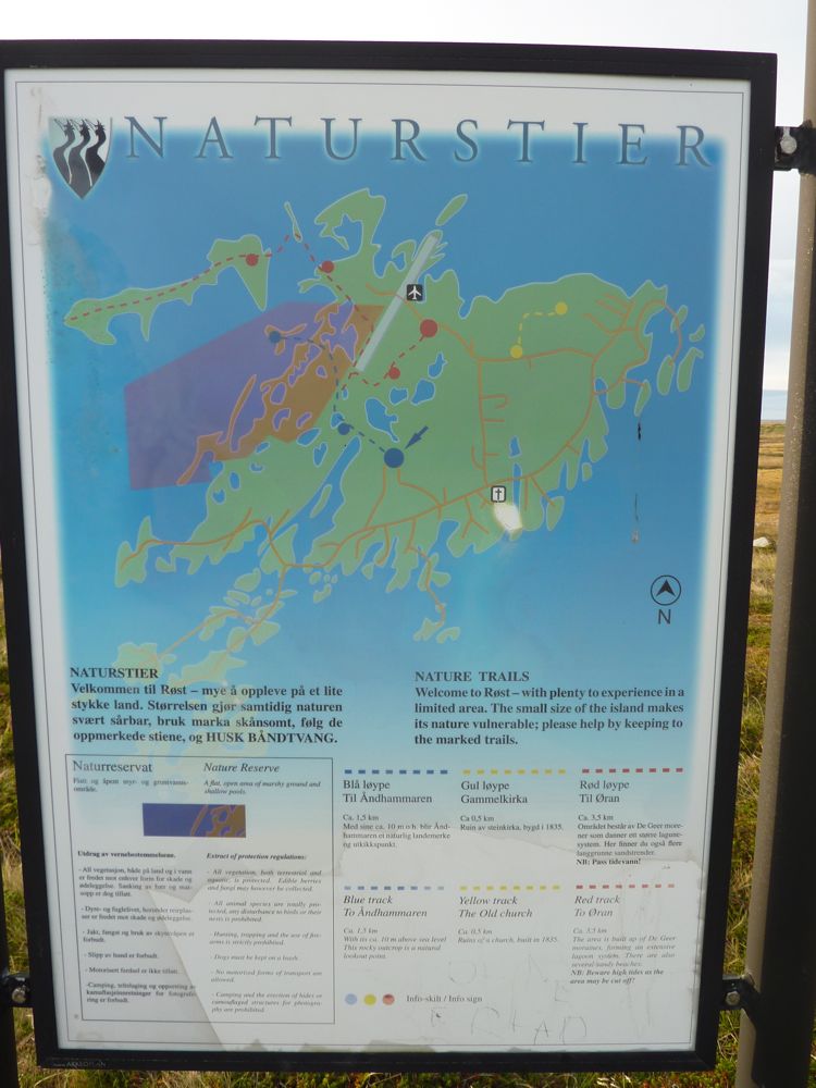
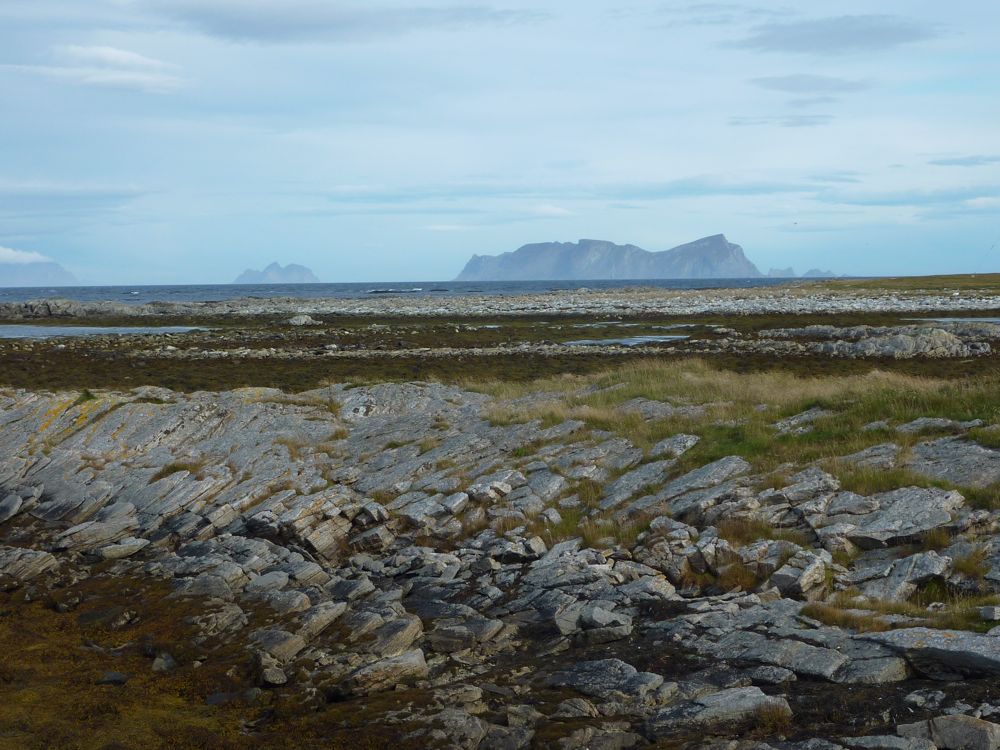
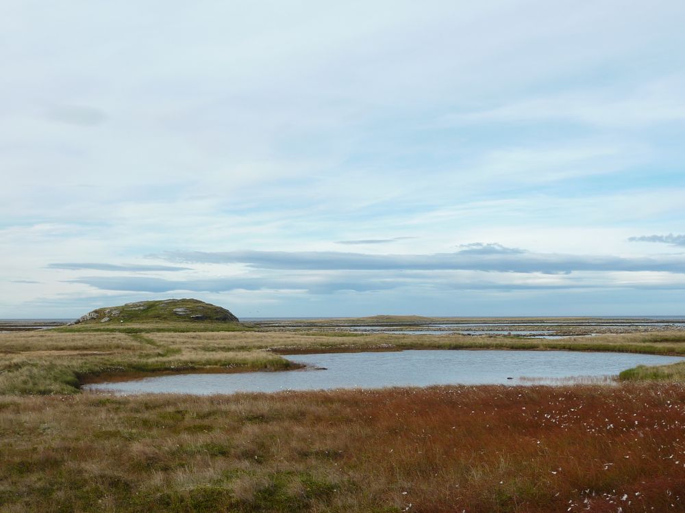
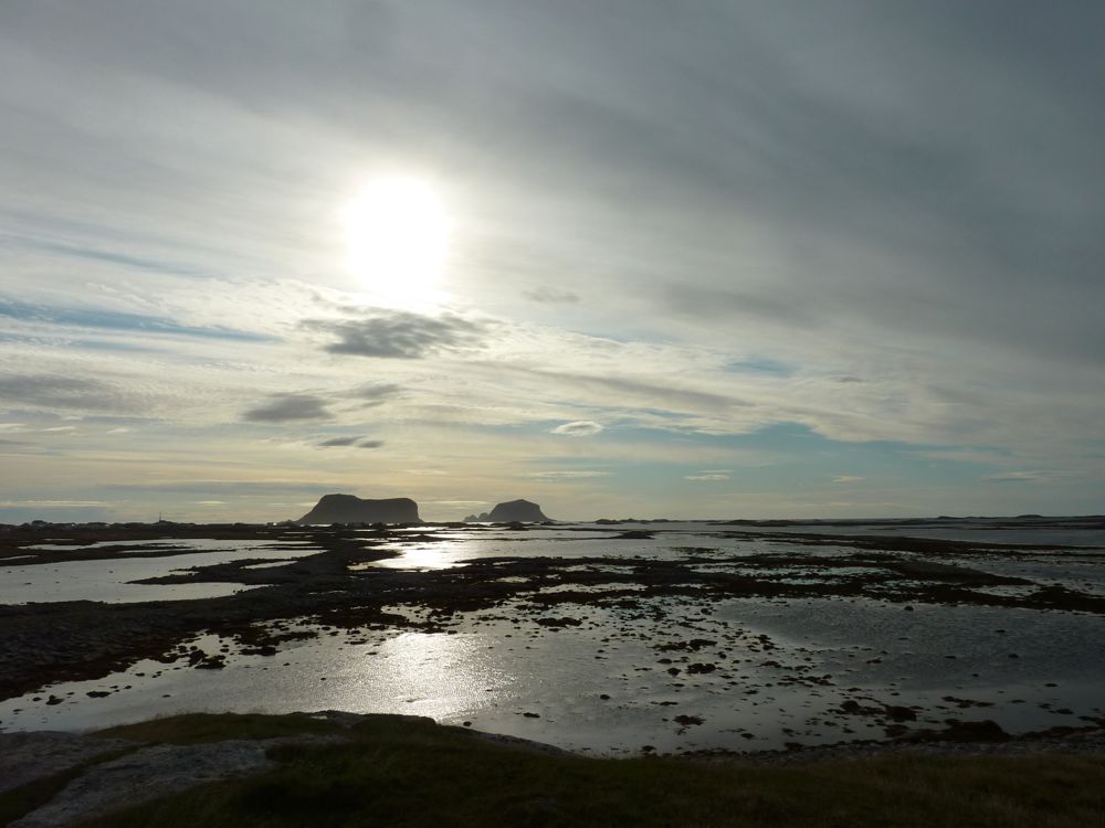
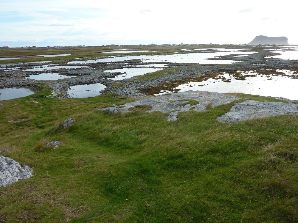
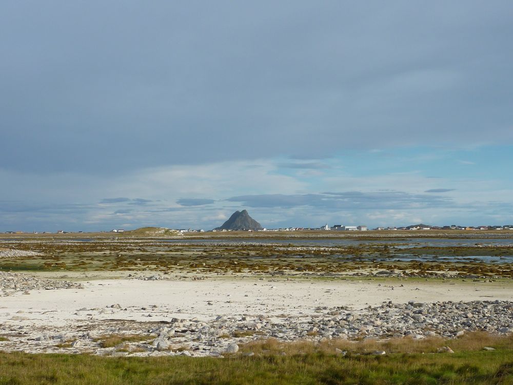
I had never been in Røst before and stayed an extra day to walk around and have a look at the local geology. Røst is a group of islands at the far end of the Lofoten, far out in the Norwegian Sea. Most of the Lofoten is very rugged, but the main island of Røst, Røstlandet, is very flat, with a highest point of 12 m. The islands south of Røstlandet are more rugged and are known for their bird cliffs with large colonies of puffins and other seabirds. Røstlandet is not very big and in a day you can walk around the whole island and walk all the nature trails. Particularly the trail out to the very west-northwest of the island, across moraines and tidal flats are very scenic and probably rich in bird life in the right season. I saw a couple of sea eagles but not much more.
![]() |
| Map of the main island of Røst. I walked pretty much around the whole island including all the nature trails. |
![]() |
| Typical Røst landscape |
![]() |
| Looking north to Værøy. |
![]() |
| The original stone church, built in 1839. |
![]() |
| One of the highest points on the island, 10 m high. |
![]() |
| De Geer moraines with steep island to the south |
![]() |
| De Geer moraines |
![]() |
| Flat landscape of Røst with steep island to the east |
![]() |
| Sunset |
Tuesday, 27 September 2011
Kåfjorddalen - Gorsa canyon
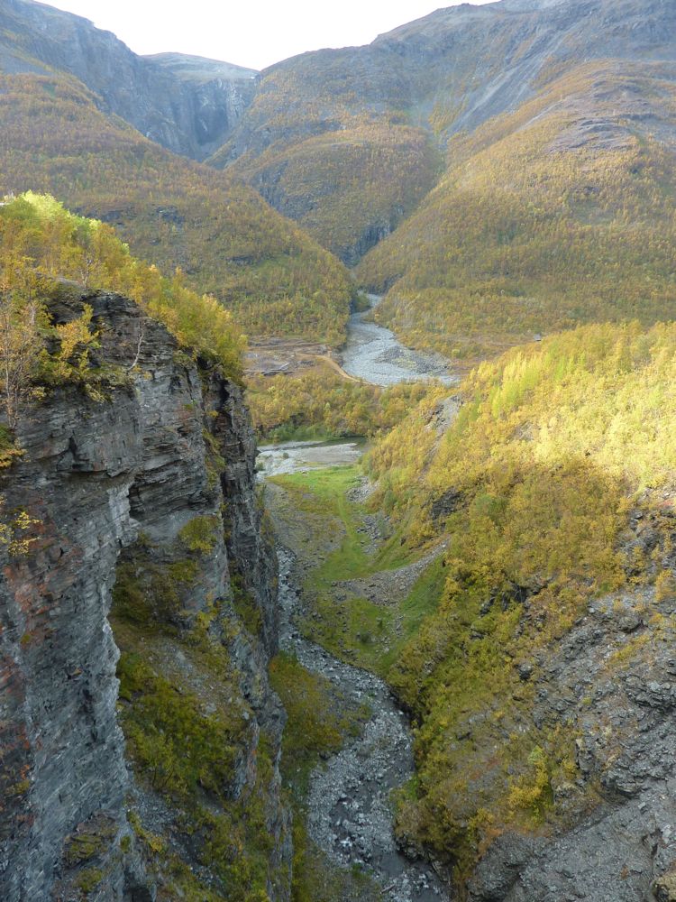
On Sunday we drove to the end of the gravel road in Kåfjorddalen that goes high up in the mountains. We walked down from Sabetjohka to the new and already very popular bridge over the spectacular Gorsa canyon (see also my previous post on Kåfjorddalen) and we explored one of the old mine sites along the gravel road. Next time we will have to come back with our mountainbikes, there are lots of old roads and tracks to explore all over the mountains, leading to many of the old mines high up from the valley. Kåfjorddalen is a spectacular area!
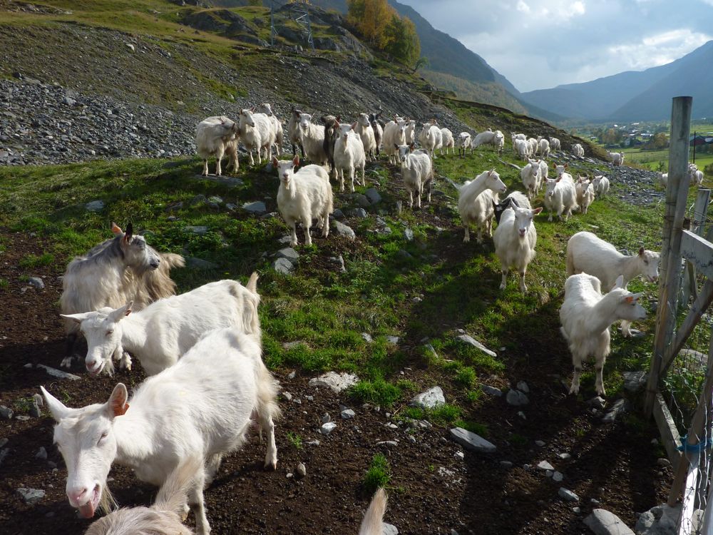
goats!
Sorbmejohka, one of the deepest canyons in northern Europe
The spectacular new bridge over the Gorsa canyon.
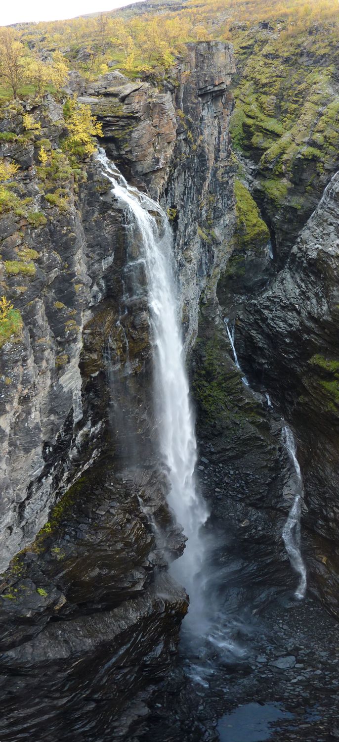
From the bridge: the river Guolasjohka enters the Gorsa canyon with a 140 m high waterfall.
From the bridge: the narrow Gorsa canyon
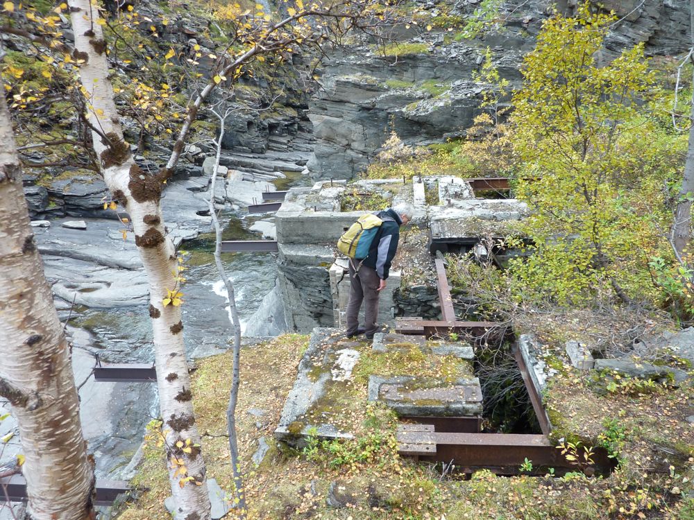
Mining relics: the remains of a power station for the mining village Ankerlia.
Mining relics: supports for a water pipe, presumably leading to the power station.
In summer the gravel road leads high up into the mountains.
More mining relics: one can see the old mine entrances in the reddish layer in the cliff.
Mine relics
Kåfjorddalen - Oksfjellet
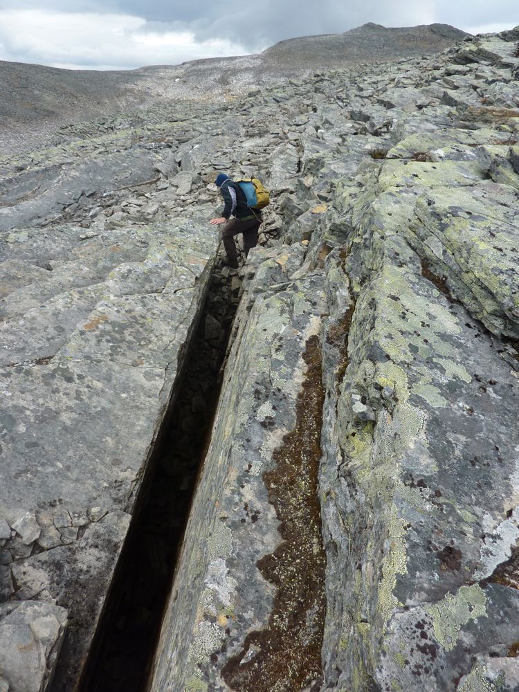
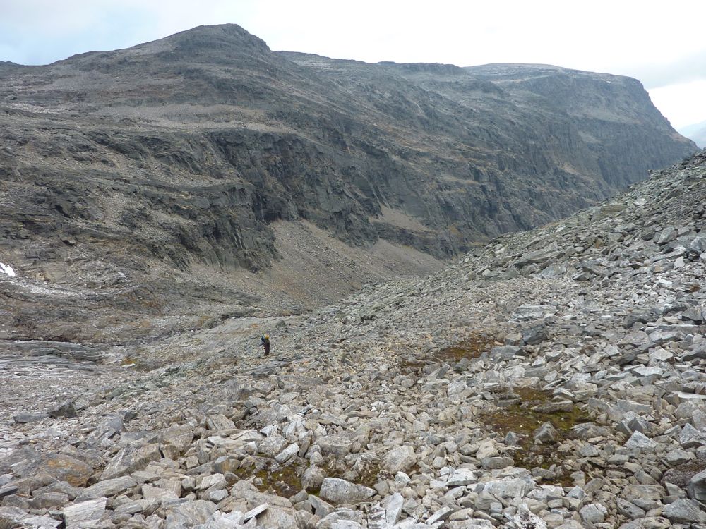
Another weekend in the beautiful Kåfjord valley. On Saturday we hiked up Oksfjellet, a mountain straight up from the campsite in Birrtavarre. The landscape in this area south of Kåfjorden is characterised by deep steep glacial valleys and extensive top plateaus (flat-topped mountains). The area is known to be at higher risk for rockslides and one of the most active regions, Nordnes-fjellet west of Kåfjord, is monitored by a GPS station. That the area is active is obvious from the many large cracks, not only along the steep valley walls, but also in the middle of the top plateaus as can be seen on some of the photos below. These flat-topped mountains are quite different from those in Lyngen (Daltinden): the rocktype in Lyngen is hard and massive gabbro, while this area in Kåfjorden consists of well-layered metasedimentary rocks which fractures and breaks apart easier than the gabbro.
our route
Looking back towards Kåfjorden, from underneath a glacier scoured cliff.
Nice waterfalls as usual
Remember this one? Lemmings were running all around us when we sat down for lunch.
Climbing up the block covered slope
Tony managed to split a rock ;-)
These mountains are full of major cracks and faults and don't look very stable
Another deep crack
Heading down into the valley
Tony negotiating a "recent", post-glacial, landslide blocking the valley
It is really autumn now
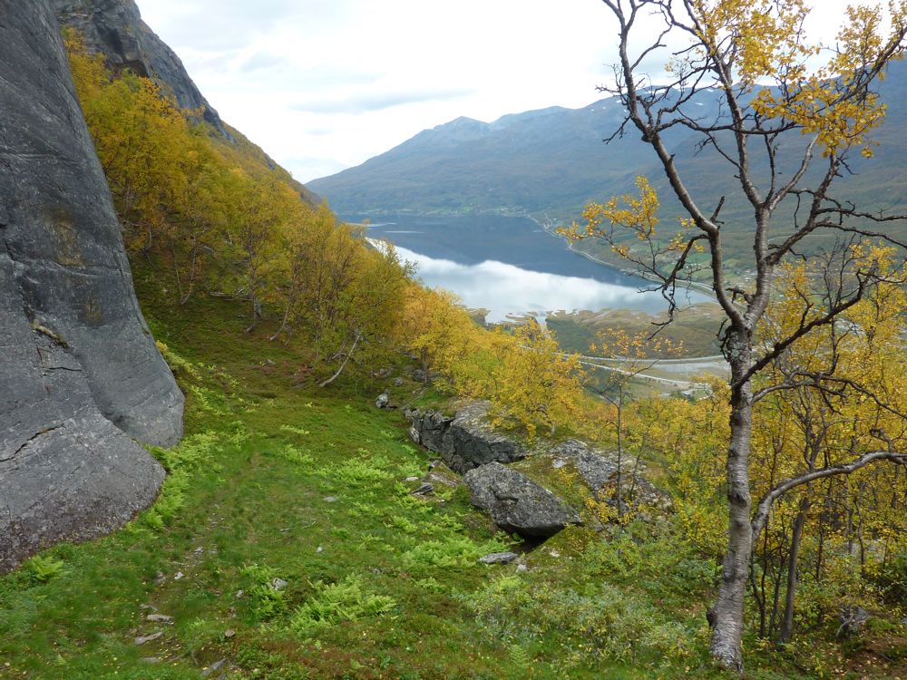
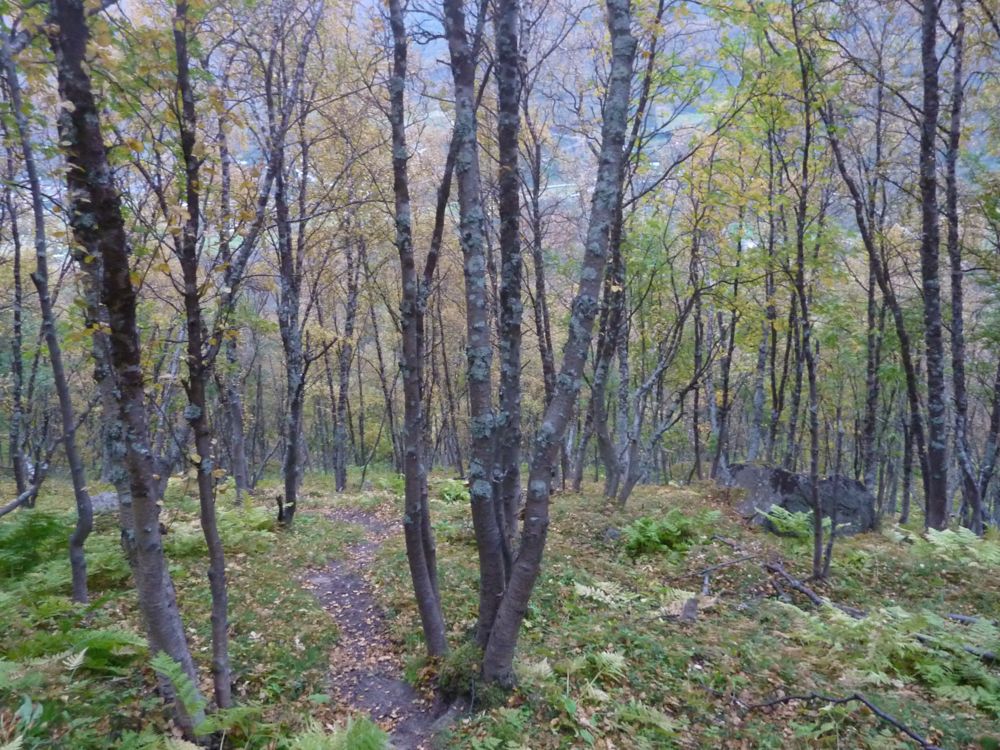
Steep track down through a colourful forest
Subscribe to:
Posts (Atom)