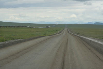
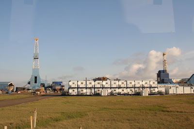
We did some great trips in July, mostly road trips though, not much hiking or paddling this month. The first trip was the drive up and down the famous Dalton Highway along the Alaska pipeline up to the north coast, the only road that crosses the Brooks Range. The highway starts from the Elliot Highway 135 km north of Fairbanks, and leads 666 km across the Yukon river, the Brooks Range and the north slope to Prudhoe Bay at the north coast. Much of the Dalton is a good gravel road, but there are some sections that are full of potholes. The Dalton is the supply road for the oil fields at Prudhoe Bay and there are therefore quite a few trucks on the road which do have right-of-way. However, the scenery is amazing, particularly the Brooks Range! We took so many photos that I had trouble making a selection..... Enjoy!

Our route from Fairbanks to Deadhorse (in yellow).

Along the Elliot Highway north of Tromsø.
 Forest fires are common in interior Alaska, mostly as result of lightning, and help rejuvenate the vegetation. The fires were particularly bad during the dry summers of 2004 and 2005 and it looks like 2009 is heading this way too, with several large fires throughout the interior. This is what it looks like 5 years after the fire, fields full of fireweed, small shrubs and birch trees.
Oversize trucks are common along the Dalton, but this one won. There are 3 trucks behind it to help push up the hills and there were 4-5 cars accompanying it to warn/stop traffic.

I guess this is not actually that special for us, although we don't often cross the Arctic circle on land.

The, (in)famous, Alaska pipeline.
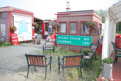
There are 2 places along the Dalton where you can buy fuel and food, near the Yukon and in Coldfoot. This is a great little restaurant near the Yukon with good burgers and home grown vegetables.


Coldfoot. This truck delivers salt for road maintenance. The salt makes a good hard surface in dry weather, but a muddy mess in wet weather as we found out on Atigun Pass.

The hotel in Coldfoot.













No comments:
Post a Comment