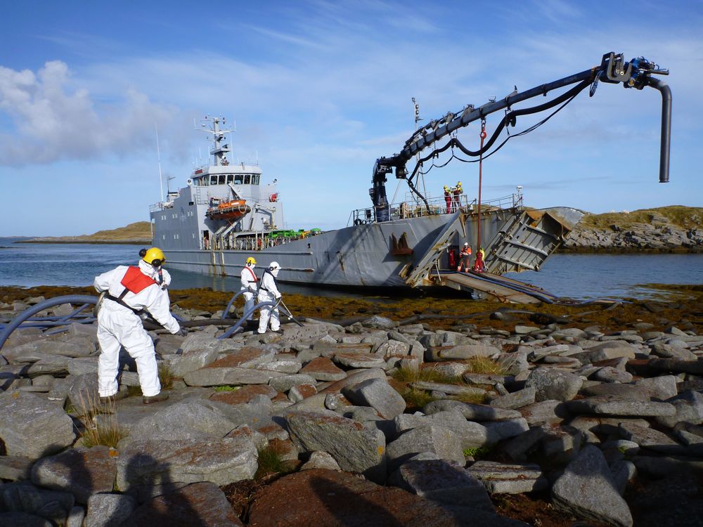
I am a volunteer in WWF's Ren Kyst (clean coast) project, which is a (growing) group of volunteers trained by WWF to help with oil clean-up in cases of oil spills. I did one of their courses 2 years ago, a course developed in collaboration with Kystverket (the Norwegian Coastal Administration) and Norlense, a manufacturer of oil lenses. A couple of weeks ago, there was a large scale oil clean-up exercise organised by NOFO (the Norwegian Clean Seas Association for Operating Companies, which (in their own words) 'develops and maintains oil spill preparedness on the Norwegian continental shelf in order to combat oil pollution on behalf of 25 operating oil companies'), and they wanted some WWF volunteers to participate. I volunteered and got sent to the island of Røst together with another WWF volunteer. A large group participated in the exercise with people from NOFO, local fishermen, people from local and regional fire brigades and civil service, Kystverket, a commercial company, the Norwegian civil defence, and us WWF volunteers. Many aspects of the exercise worked very smoothly, but some aspects could be improved, for example the communication between parties. But it was interesting to see how an oil spill clean-up is organised in practice and as a bonus we spent a whole day in a beautiful location in warm and sunny weather. By the way, the spilled oil was simulated by popcorn, which didn't really work for us on land: the popcorn never washed ashore, so there was nothing for us to clean-up :-)
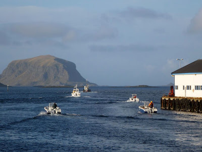 |
| Heading out to the oil spill accident site; the small boats (local fishermen) will help set out oil lenses. |
 |
| The oil spill site is marked out and the oil lenses are being put in place. |
 |
| A commercial company demonstrating new equipment to facilitate oil clean-up on the coast. |
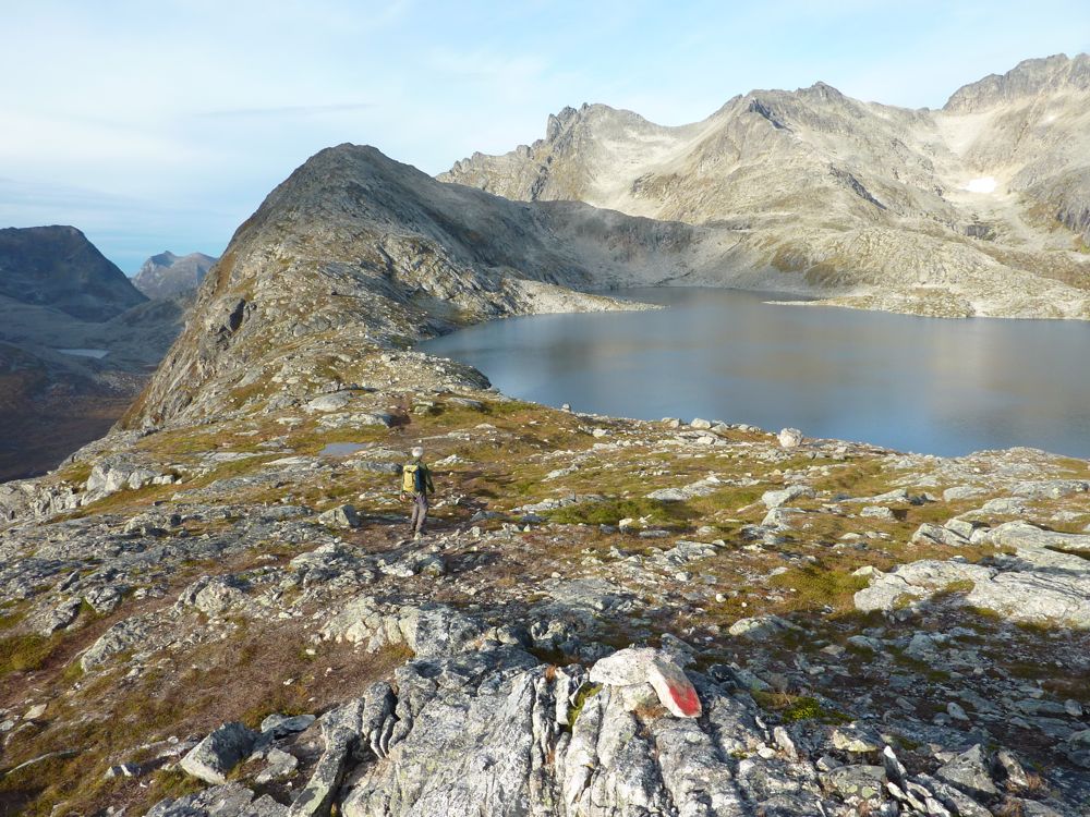
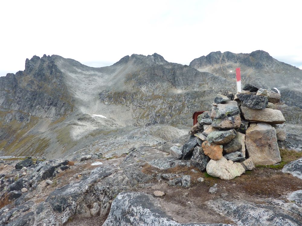
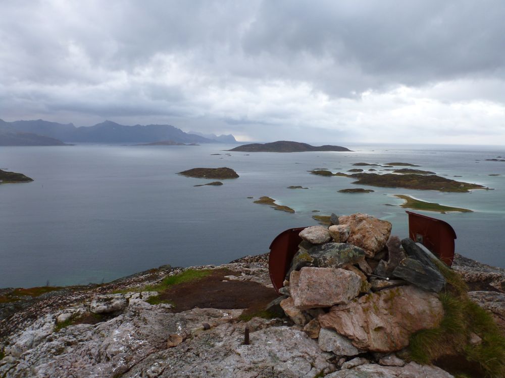
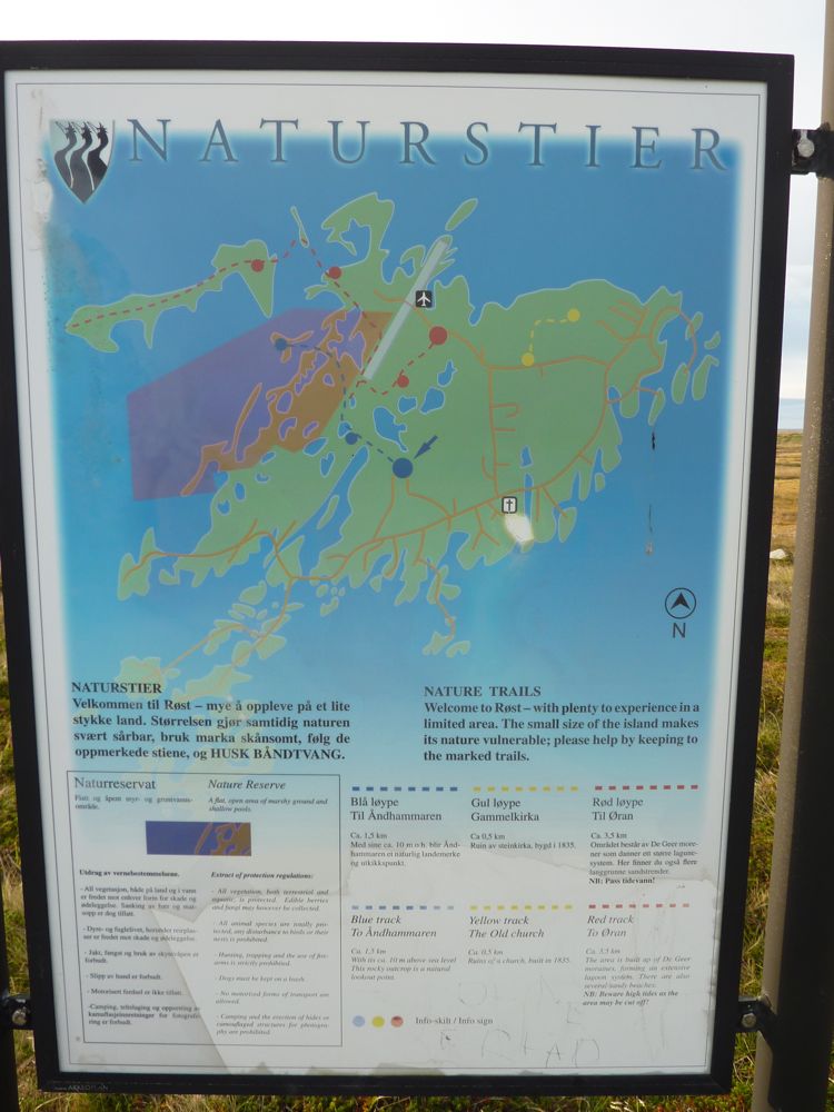
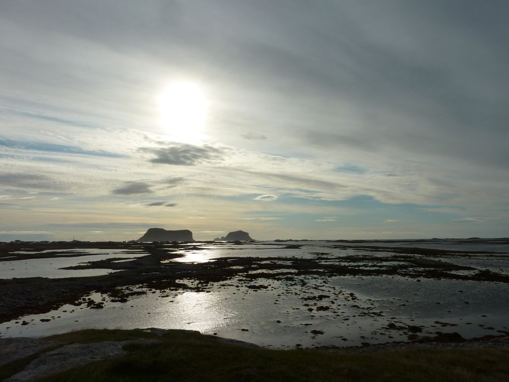
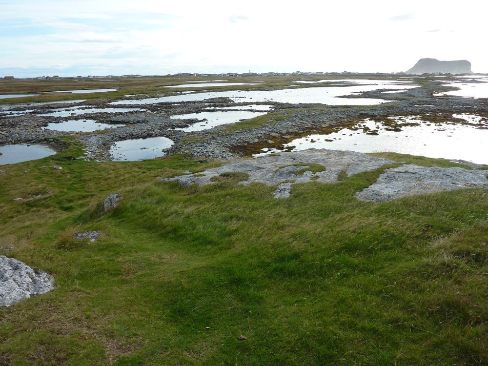
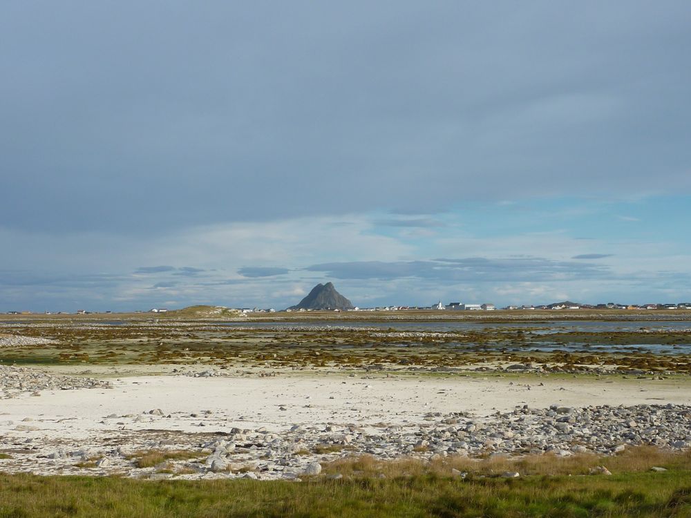
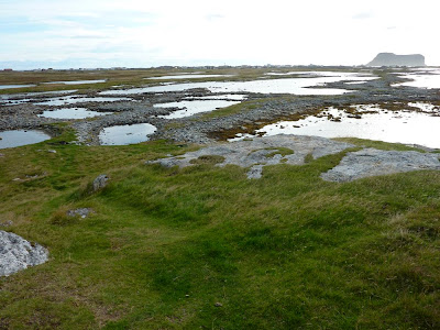
I had never been in Røst before and stayed an extra day to walk around and have a look at the local geology. Røst is a group of islands at the far end of the Lofoten, far out in the Norwegian Sea. Most of the Lofoten is very rugged, but the main island of Røst, Røstlandet, is very flat, with a highest point of 12 m. The islands south of Røstlandet are more rugged and are known for their bird cliffs with large colonies of puffins and other seabirds. Røstlandet is not very big and in a day you can walk around the whole island and walk all the nature trails. Particularly the trail out to the very west-northwest of the island, across moraines and tidal flats are very scenic and probably rich in bird life in the right season. I saw a couple of sea eagles but not much more.
 |
| Map of the main island of Røst. I walked pretty much around the whole island including all the nature trails. |
 |
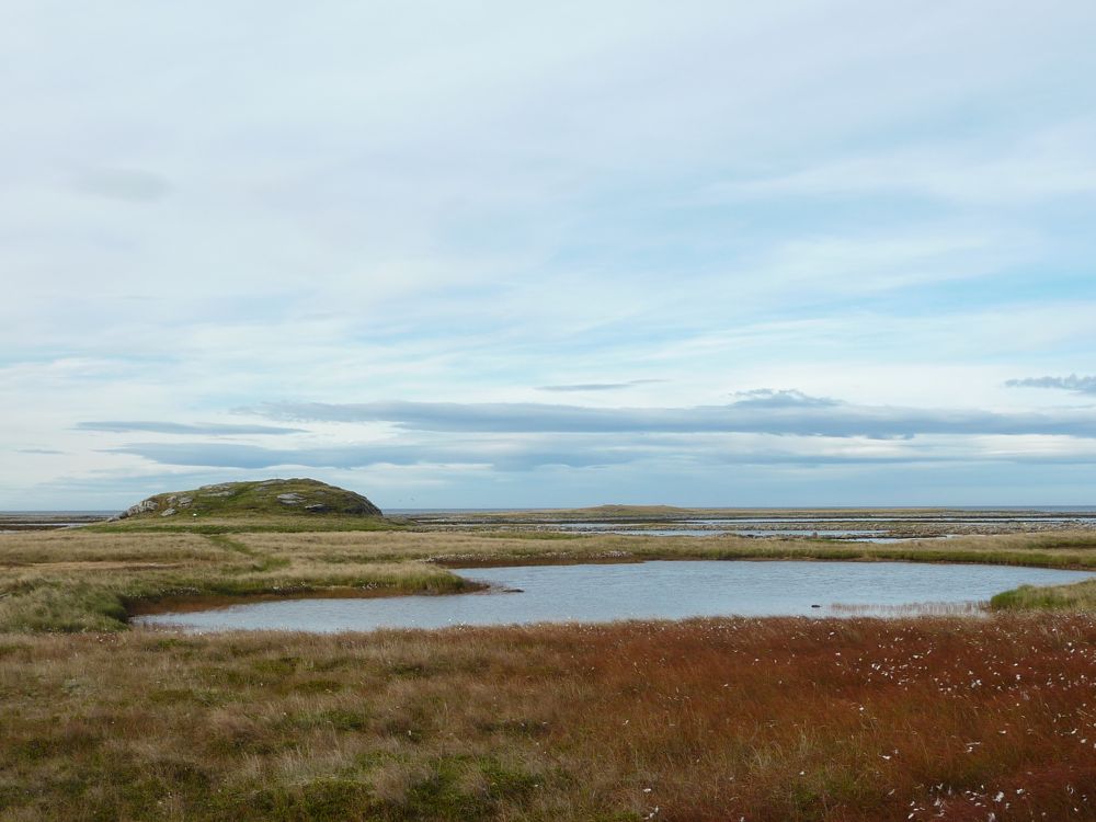
| Typical Røst landscape |
 |
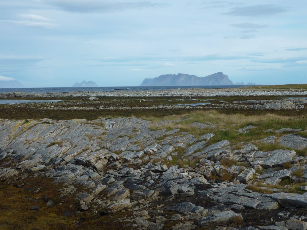
| Looking north to Værøy. |
 |
| The original stone church, built in 1839. |
 |
| One of the highest points on the island, 10 m high. |
 |
| De Geer moraines with steep island to the south |
 |
| De Geer moraines |
 |
| Flat landscape of Røst with steep island to the east |
 |
| Sunset |