Tuesday 27 September 2011

Kåfjorddalen - Gorsa canyon

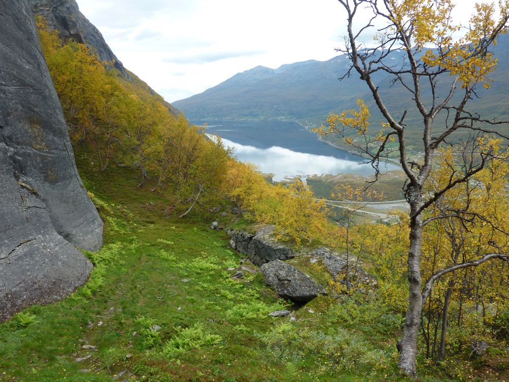
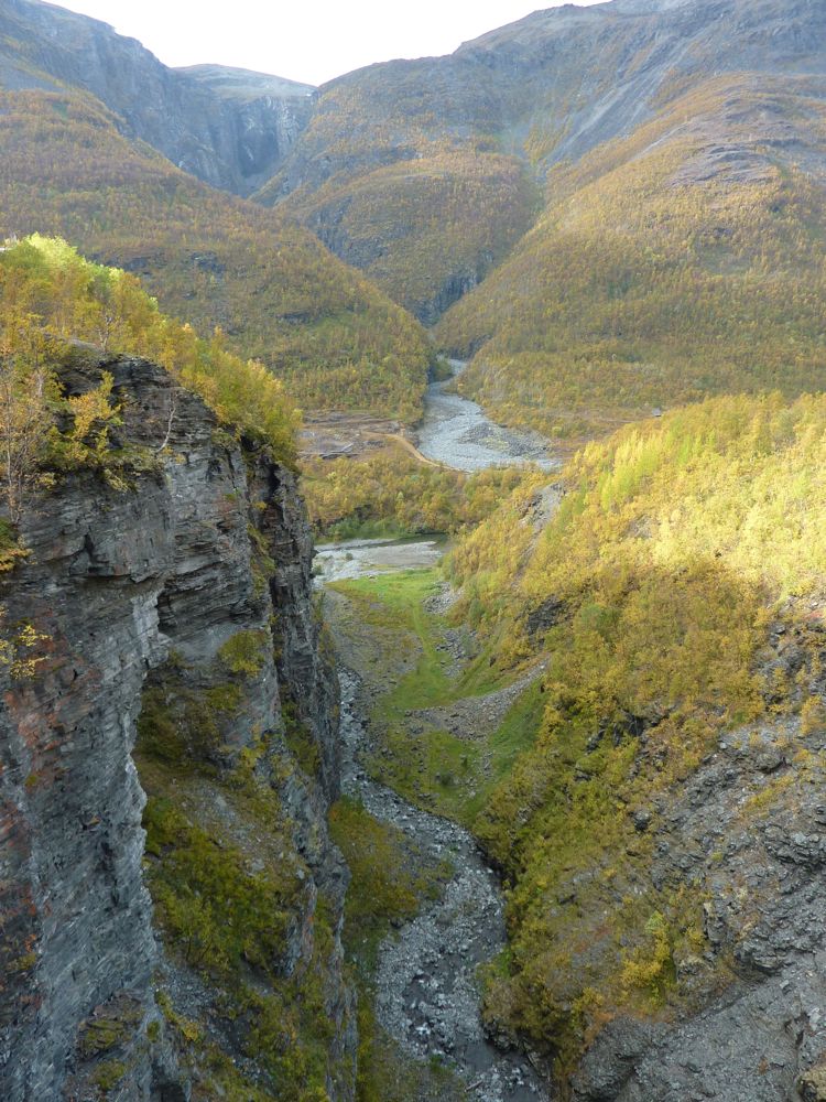
On Sunday we drove to the end of the gravel road in Kåfjorddalen that goes high up in the mountains. We walked down from Sabetjohka to the new and already very popular bridge over the spectacular Gorsa canyon (see also my previous post on Kåfjorddalen) and we explored one of the old mine sites along the gravel road. Next time we will have to come back with our mountainbikes, there are lots of old roads and tracks to explore all over the mountains, leading to many of the old mines high up from the valley. Kåfjorddalen is a spectacular area!
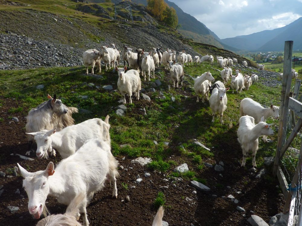
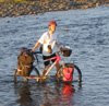
goats!

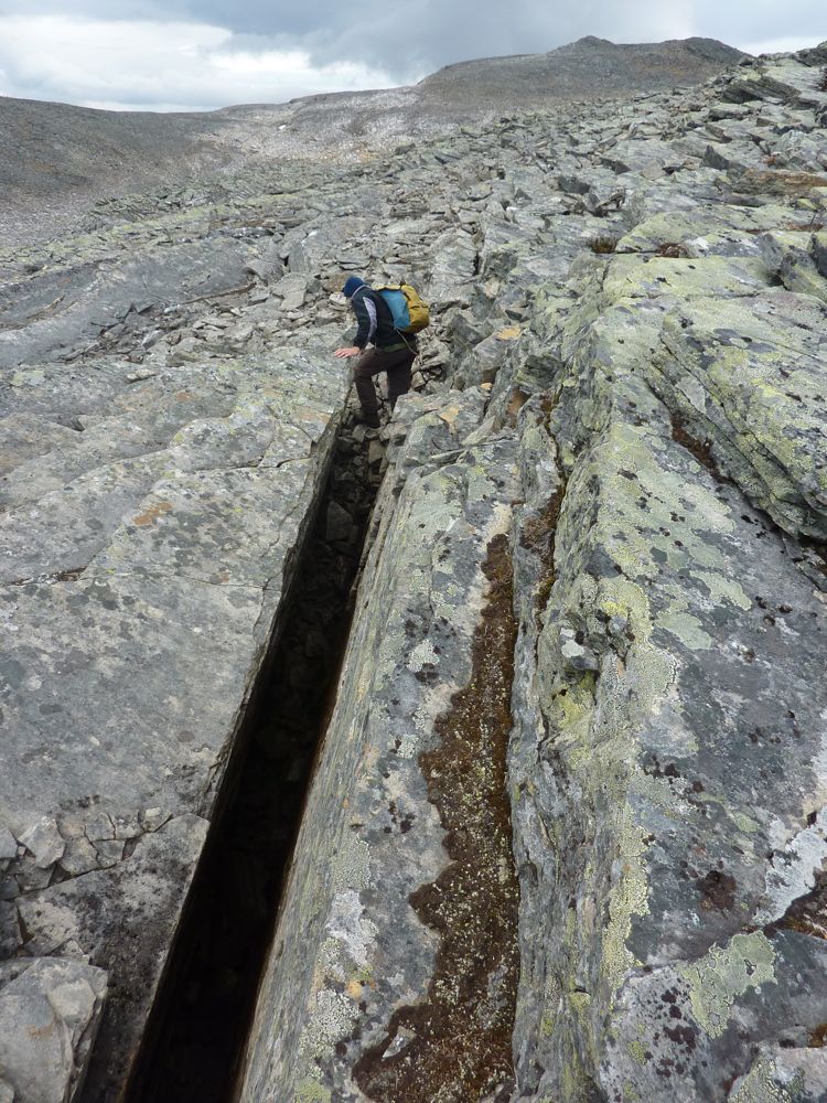
Sorbmejohka, one of the deepest canyons in northern Europe

The spectacular new bridge over the Gorsa canyon.

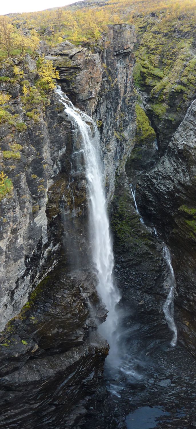
From the bridge: the river Guolasjohka enters the Gorsa canyon with a 140 m high waterfall.

From the bridge: the narrow Gorsa canyon

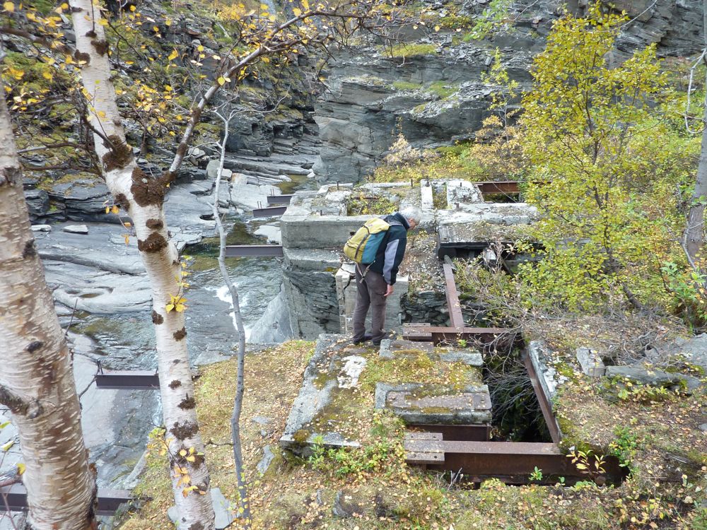
Mining relics: the remains of a power station for the mining village Ankerlia.

Mining relics: supports for a water pipe, presumably leading to the power station.

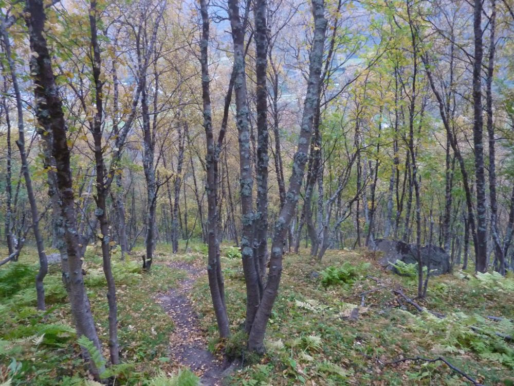
In summer the gravel road leads high up into the mountains.

More mining relics: one can see the old mine entrances in the reddish layer in the cliff.


Mine relics

Kåfjorddalen - Oksfjellet

Another weekend in the beautiful Kåfjord valley. On Saturday we hiked up Oksfjellet, a mountain straight up from the campsite in Birrtavarre. The landscape in this area south of Kåfjorden is characterised by deep steep glacial valleys and extensive top plateaus (flat-topped mountains). The area is known to be at higher risk for rockslides and one of the most active regions, Nordnes-fjellet west of Kåfjord, is monitored by a GPS station. That the area is active is obvious from the many large cracks, not only along the steep valley walls, but also in the middle of the top plateaus as can be seen on some of the photos below. These flat-topped mountains are quite different from those in Lyngen (Daltinden): the rocktype in Lyngen is hard and massive gabbro, while this area in Kåfjorden consists of well-layered metasedimentary rocks which fractures and breaks apart easier than the gabbro.

our route

Looking back towards Kåfjorden, from underneath a glacier scoured cliff.

Nice waterfalls as usual

Remember this one? Lemmings were running all around us when we sat down for lunch.

Climbing up the block covered slope

Tony managed to split a rock ;-)

These mountains are full of major cracks and faults and don't look very stable

Another deep crack

Heading down into the valley

Tony negotiating a "recent", post-glacial, landslide blocking the valley

It is really autumn now

Steep track down through a colourful forest

Saturday 17 September 2011

Autumn

Autumn is the berry and mushroom season, and our freezer is now full with blueberries and cantarelles. Our raspberry bush survived last winter and, although it is not very big yet, we got a good harvest of juicy tasty berries from it. We also have a red gooseberry plant, but they take a bit longer to ripen. It is a good berry year, we have picked both cloudberries, raspberries, blueberries and stone bramble; the mushrooms had a late start, probably because of the dry summer, but during our last cantarelle trip a few weeks ago we did find quite a few mushrooms so it could become a reasonable mushroom year as well.

homegrown raspberries

result from a cantarelle trip

Monday 5 September 2011

Hamperokken

Hamperokken is a very distinct mountain that you can see from far and it has long been on my wishlist of mountains to climb. So when Tony and some of his colleagues planned to hike up there one Sunday afternoon I tagged along. From a distance it looks impossible to get up there without climbing, but there is actually quite a good track along and underneath the ridge and only the last part to the top requires some light scrambling. A beautiful ridge walk, but best done in good weather.

our route

Hamperokken seen from the SW, from Ramfjordbotn. It looks impossible to get up without climbing......

Hamperokken from the start of the ridge at ca 1000 m

Looking down towards Litleskarvatnet

Top of valley between Hamperokken and Stortinden


The only bit of scrambling, the last ca 20m to the top

Looking back along the ridge from the top

View towards Breivikeidet to the NE

View to the S

View to the NW, with Tromsdalstinden in the top right; Tromsø is right behind Tromsdalstinden.

Back down along the ridge


The end of the ridge

Tony studying interesting geological structures

Friday 2 September 2011

Daltinden - Lyngen


Our route; we camped down in Dalbotn.

Dalbotn with 2 of the 3 glaciers that drain into Lyngsdals river: on the left Bálggesváhjiehkki, on the right Sydbreen.

Nice view from our campsite, looking at the third glacier Vestbreen.

Start of the hike up to Daltinden

Daltinden

Typical blockfield most of the way up

Daltinden's top plateau with cairn

Flat-topped mountains; looking west towards Bálggesvárri with plateau glacier on top

Tony standing in a young sorted frost circle on top of Daltinden

Quick descent along a long snow field