As you can see on the google aerial photo below, Boulder is at the foot of the Rockies and the areas to the north, south and east of Boulder are fairly flat. It is mostly open farmland with some lakes and reservoirs. West of Boulder are first the foothills, mostly forested hills up to 1100 m higher than Boulder (up to 2800m; Boulder lies at ca 1700m). Further west again are the high alpine mountains that go up to 4300m. Most of the cycling was done from home as can been seen from the web of coloured routes around Boulder in the first photo below. The 2 trips higher in the mountains were mostly along abandoned railway lines, Rollins Pass and the Switserland trail, which make great cycling tracks as the now gravel roads are not very steep.

Google aerial photo with our bike routes

Boulder Valley ranch north of Boulder
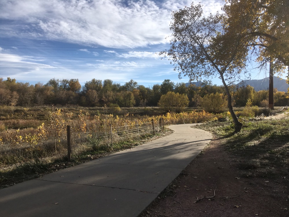
Beautiful bike paths in Boulder

Beautiful bike paths in Boulder

Quiet roads in Boulder

Evening ride around Boulder reservoir, north of Boulder

Single track in South Mesa, south of Boulder

Gravel track in South Mesa, south of Boulder

Smooth riding on Chapman Drive in the foothills

Switserland trail, an abandoned railway track in the foothills

Icy and muddy along the Switserland trail

Heading up to Rollins Pass at 3554m, another abandoned railway track high in the mountains

Negotiating a bumpy road up to Rollins Pass

An old railway bridge just down from Rollins Pass