Finally a day off again after 2 weeks continuous microscopy, and perfect weather for a hike in the mountains. This time I decided to walk up Gullfjell, the highest mountain in the Bergen district. I started from Gullbotn, a 40 minute bus ride east of Bergen, from where a good track leads up the mountain. Once on the ridge you can follow large, 2 m high, cairns that lead the way to the top. This area is a bit further from the city and, probably because it was a week day, I only met a handful of people along my route. It is a beautiful area, higher and more alpine than the local hills around Bergen, with still quite a bit of snow around. The golden plovers are nesting and I saw lots of cloudberry leaves on the ridge to Livarden. Once down from the mountain in Haukeland I missed the hourly bus by 5 minutes and with the long wait in addition to more than an hour travelling by bus-tram-bus it was quite late before I got home, but the walk was absolutely worth it.
I had forgotten to put my battery back in my camera after charging it the night before, so these photos are taken from my cheap mobile phone to give at least some impression of the area.

Route and location relative to Bergen
Near the start of the walk from Gullbotn
Looking east to Samnangerfjord
Following the large cairns to the top of Gullfjelltoppen
The steep western slope of Gullfjelltoppen with lake Svartavatn at the bottom
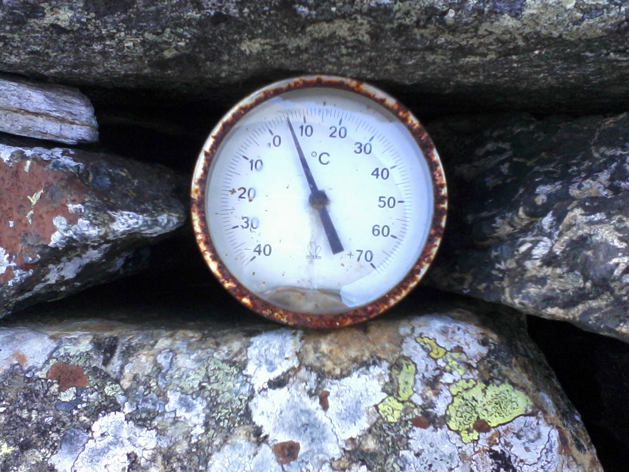
With all the snow on the top the temperature is only just above 5°C
Still a fair bit of snow and ice around on Gullfjellet
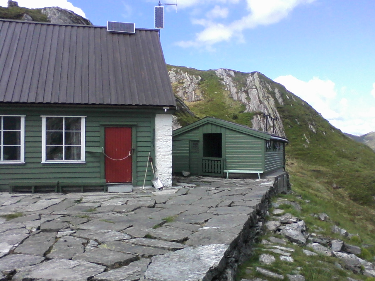
Redningshytta
The idyllic Rambjørgvatnet, northeast of Livarden


No comments:
Post a Comment